About the Project Tree
The Project Tree provides quick access to TerraExplorer Pro elements, enabling you to control the appearance of information in the 3D Window. Project Tree elements can be arranged in groups, according to function, type of information, or location.
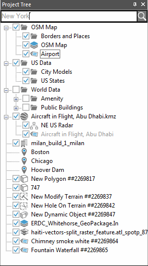
The Project Tree
Note: Clicking once on a Project Tree item selects the item, whereas double-clicking performs its activation action.
The Project Tree contains the following elements:
|
Element |
Icon |
Description |
|
Group |
|
A folder containing a collection of objects. § Double-click the group name or the Expand/Collapse icon Note: A locked group whose folder is always in collapse mode and cannot be opened by the TerraExplorer Basic viewer user has no Expand/Collapse icon |
|
Feature Layer - Polygons |
|
A polygon feature layer is a group containing visual representation of a geographic data using geographic polygon objects. |
|
Feature Layer - Polylines |
|
A polyline feature layer is a group containing visual representation of a geographic data using geographic polyline objects. |
|
Feature Layer - Points |
|
A point feature layer is a group containing visual representation of a geographic data using geographic points. |
|
Location |
|
Pre-defined location on the 3D Window. § Double-click on the location icon to fly to the location or to perform a flight pattern around it. |
|
Presentation |
|
Recorded flight path and view of terrain. § Click on the presentation icon to play the presentation. |
|
Label |
|
Text or image label. § Double-click on the label icon to fly to the label, perform a flight pattern around it or view the label from a different direction. |
|
Static Object |
|
2D or 3D static object. § Double-click on the object icon to fly to the object, perform a flight pattern around it or view the object from a different direction. |
|
Imagery, Elevation Layers |
|
Imagery or Elevation layer |
|
Dynamic Object |
|
2D or 3D dynamic object. |
|
Message |
|
Project Tree message. |
|
Contour Map |
|
Contour map of a selected area or the entire terrain. § Double-click on the Contour Map icon to fly to it, perform a flight pattern around it or view it from a different direction. |
|
Slope Map |
|
Slope map of a selected area or the entire terrain. |
|
Line of Sight |
|
Line of Sight marker. § Double-click on the Line of Sight icon to fly to the marker, perform a flight pattern around it or view it from a different direction. |
|
Best Path |
|
Best Path calculation object. § Double-click on the Best Path icon to fly to the calculation object, perform a flight pattern around it or view it from a different direction. |
|
Modify Terrain |
|
Modify Terrain object. § Click on the Modify Terrain icon to fly to it, perform a flight pattern around it or view it from a different direction. |
|
Hole on Terrain |
|
Hole on Terrain object. § Double-click on the Hole on Terrain icon to fly to it, perform a flight pattern around it or view it from a different direction. |
|
Video On Terrain |
|
The Video On Terrain feature plays a video file onto any selected area of the terrain. § Double-click on the video icon to fly to fly to it, perform a flight pattern around it or view it from a different direction. |