Loading Layers from SkylineGlobe Server (SGS)
SkylineGlobe Server is a private cloud solution that supports the client-server data delivery requirements of Skyline's 3D technology. TerraExplorer clients can load point cloud, KML, feature, elevation, imagery, 3DML, raster complex, TerraBuilder projects, and TerraExplorer projects loaded from SkylineGlobe Server. Feature layers can also be edited and changes saved to the data source. For more information on loading layers from SGS, see “Loading SkylineGlobe Layers” in the “Working with SkylineGlobe Server” chapter.
To add a layer from a SkylineGlobe server:
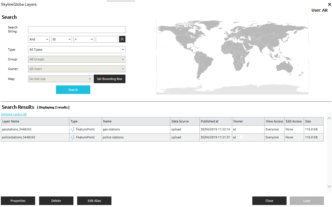
SkylineGlobe Layers Dialog
1. On the Home tab, in the Add group, click the arrow next to 3D Layer, and select SkylineGlobe Server. The SkylineGlobe Layers dialog is displayed.
2. If you aren’t already logged in to the required SkylineGlobe Server, log in to the server. See “Logging In to a SkylineGlobe Server” in the “Working with SkylineGlobe Server” chapter for information.
3. Search for the required layer. See “Searching for SkylineGlobe Layers” in the “Working with SkylineGlobe Server” chapter.
4. Select the layer you want to load, and click Load Layer. The Select Layer dialog opens with the selected layer(s) listed in the Select a Layer section. See “Select Layer Dialog” in this chapter for information.
5. After the layer has been placed on the terrain, you can change its properties using its property sheet. See “Setting and Editing Feature Layer Properties” in this chapter for further information.