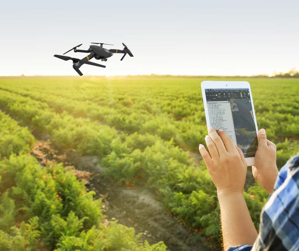
Automate photogrammetry services for smart agriculture providers for optimized workflow and sustainability
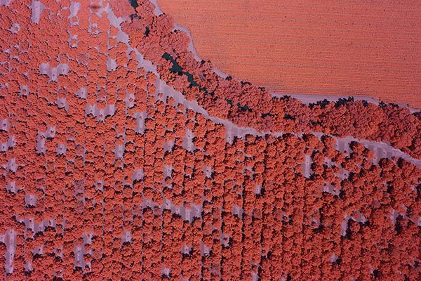
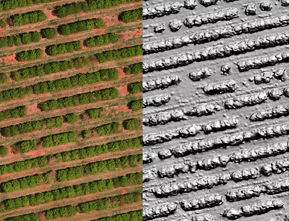
PhotoMesh merges imagery into DSM/DTM elevation models, multi-band outputs (e.g., NDVI), and accurately positioned orthophotos. High-resolution orthomosaics and elevation maps enhance situational awareness, enabling near real-time monitoring and data-driven decisions that improve productivity and reduce costs.
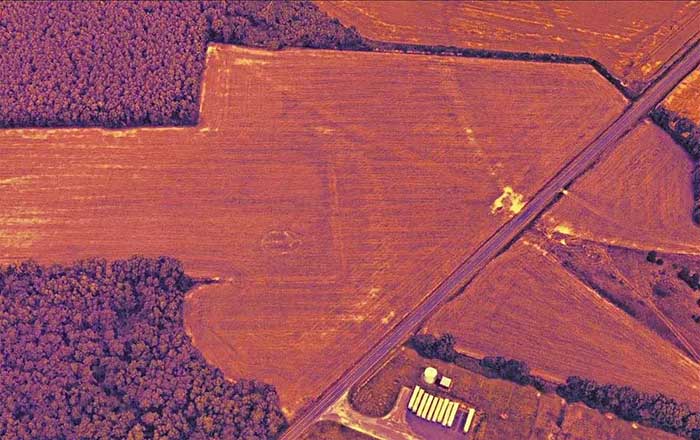
Multispectral and thermal imagery provide the basis for insights such as early detection of plant stress and evaluation of water use. Processed through PhotoMesh, these datasets become precise, georeferenced layers that support effective field management, drainage, and irrigation planning.
Benefit from optimized production and reduced costs:
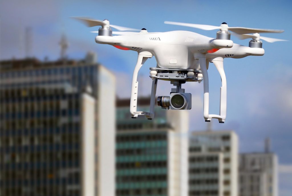
Skyline’s photogrammetry services offer outstanding flexibility in data collection, with support for both close-range drones and ground level cameras for small scale projects, as well as aerial, high-altitude airplanes for wide area mapping. Skyline’s PhotoMesh is sensor-agnostic, extending full support for different sensor sizes (medium to large frame) and types: RGB, multispectral, thermal and Lidar.


PhotoMesh

SkylineGlobe Server
TerraExplorer
| Cookie | Duration | Description |
|---|---|---|
| cookielawinfo-checkbox-analytics | 11 months | This cookie is set by GDPR Cookie Consent plugin. The cookie is used to store the user consent for the cookies in the category "Analytics". |
| cookielawinfo-checkbox-functional | 11 months | The cookie is set by GDPR cookie consent to record the user consent for the cookies in the category "Functional". |
| cookielawinfo-checkbox-necessary | 11 months | This cookie is set by GDPR Cookie Consent plugin. The cookies is used to store the user consent for the cookies in the category "Necessary". |
| cookielawinfo-checkbox-others | 11 months | This cookie is set by GDPR Cookie Consent plugin. The cookie is used to store the user consent for the cookies in the category "Other. |
| cookielawinfo-checkbox-performance | 11 months | This cookie is set by GDPR Cookie Consent plugin. The cookie is used to store the user consent for the cookies in the category "Performance". |
| viewed_cookie_policy | 11 months | The cookie is set by the GDPR Cookie Consent plugin and is used to store whether or not user has consented to the use of cookies. It does not store any personal data. |
For security purposes, please solve this simple puzzle to verify you are human before sending an OTP.