


Connecting between real-world experiences and digital content for enhanced decision making
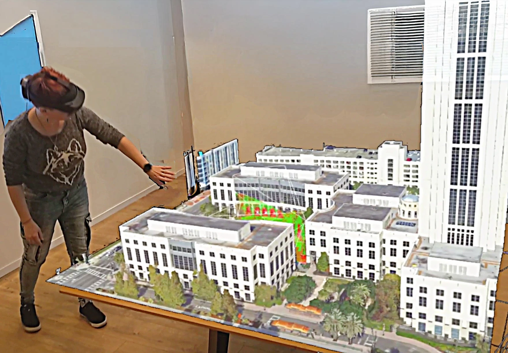
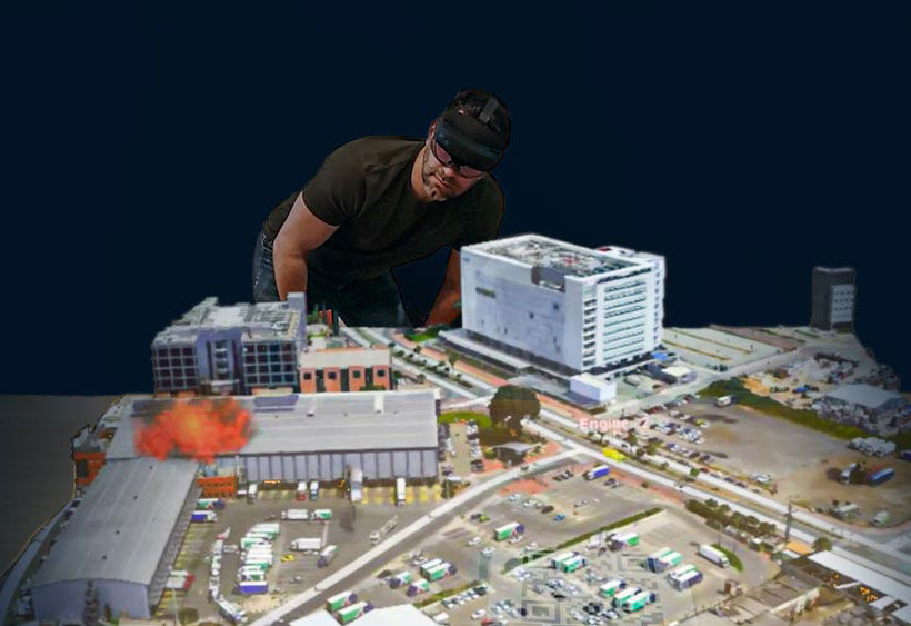
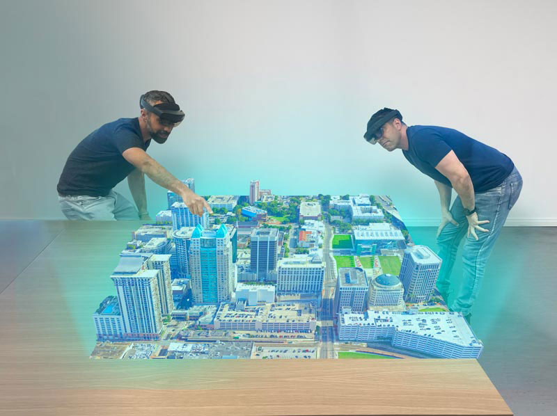
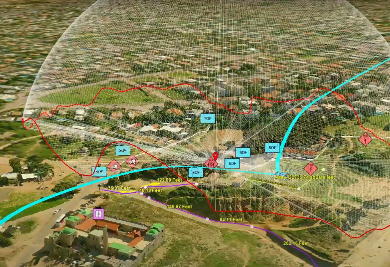
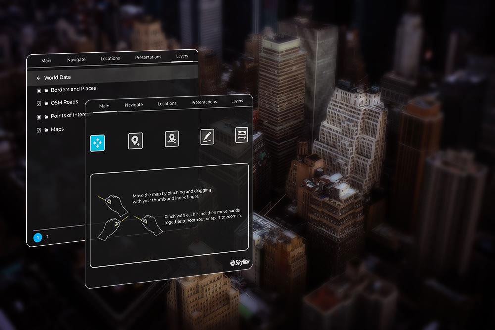
Experience your TerraExplorer 3D environment like never before with TerraExplorer’s Mixed Reality. This extension transforms your 3D view into a lifelike hologram that can be viewed simultaneously in four immersive headsets, for seamless user collaboration. With support for head tracking and intuitive controls, users can freely navigate and examine their 3D environment. TerraExplorer Mixed Reality lets you engage directly with your holographic models—add markers and favorite locations, annotate, and precisely measure distances and areas, using gesture-based tools. These features provide an unmatched interactive experience, enhancing both tactical planning and strategic execution.
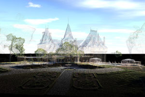
3D Mesh
Point Cloud
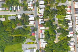
Imagery
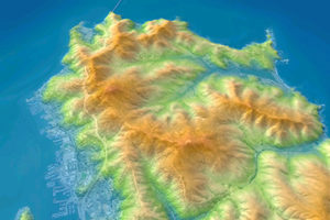
Elevation
Features
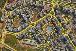
Zoom in and search the 3D World to gain new perspective. Increase understanding and improve decision making with a set of powerful tools for 3D World measurement and analysis.
Skyline invites Users, Value-Added Resellers, and Partners to join our HDP program, offering:
*Skyline reserves the right to grant HDP access.
To learn more about the program, contact [email protected].
Choose between an all-in-one Complete Kit or the Software Only version. The all-in-one kit includes all the hardware and software required to build a multi user holographic environment, ensuring everything is pre-configured and ready for deployment.
| Cookie | Duration | Description |
|---|---|---|
| cookielawinfo-checkbox-analytics | 11 months | This cookie is set by GDPR Cookie Consent plugin. The cookie is used to store the user consent for the cookies in the category "Analytics". |
| cookielawinfo-checkbox-functional | 11 months | The cookie is set by GDPR cookie consent to record the user consent for the cookies in the category "Functional". |
| cookielawinfo-checkbox-necessary | 11 months | This cookie is set by GDPR Cookie Consent plugin. The cookies is used to store the user consent for the cookies in the category "Necessary". |
| cookielawinfo-checkbox-others | 11 months | This cookie is set by GDPR Cookie Consent plugin. The cookie is used to store the user consent for the cookies in the category "Other. |
| cookielawinfo-checkbox-performance | 11 months | This cookie is set by GDPR Cookie Consent plugin. The cookie is used to store the user consent for the cookies in the category "Performance". |
| viewed_cookie_policy | 11 months | The cookie is set by the GDPR Cookie Consent plugin and is used to store whether or not user has consented to the use of cookies. It does not store any personal data. |