Search
Close this search box.

Precision Agriculture

Automate photogrammetry services for smart agriculture providers for optimized workflow and sustainability

Industry Applications

Generates high quality photogrammetry outputs from aerial and ground multispectral imagery collections

Eliminate guesswork and support more informed operational decisions with high-resolution outputs generated by the automated Skyline photogrammetry services:

  • Powered by PhotoMesh, Skyline’s photogrammetry services merge data from RGB, multispectral, and thermal sensors into DSM/DTM elevation models as well as into single multi-band (e.g., NDVI), accurately positioned orthophotos.
  • High-resolution orthomosaics and elevation maps maximize situational awareness, enabling farmers to monitor their fields and orchards in near real-time, and make data-driven decisions that improve productivity and reduce costs across farming operations.
  • Multispectral images provide data invisible to the naked eye, enabling the detection of subtle variations in plant health before visible symptoms appear.
  • High quality, thermal imaging provides powerful, actionable insights into water management and irrigation.
  • DSM/DTM elevation models can be used to design effective drainage and irrigation development services.
Fully automated service to manage Skyline’s photogrammetric mapping offers speed and flexibility

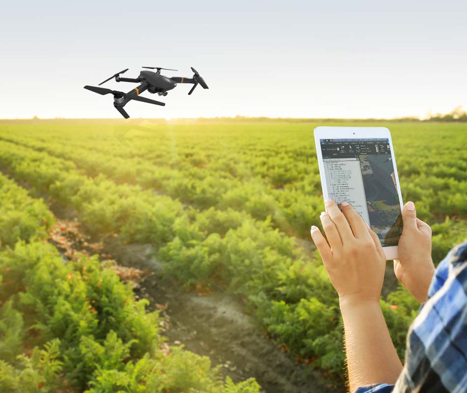
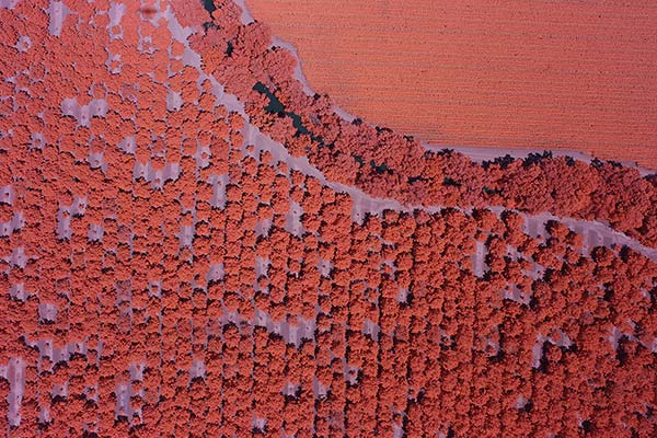
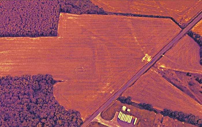
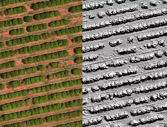
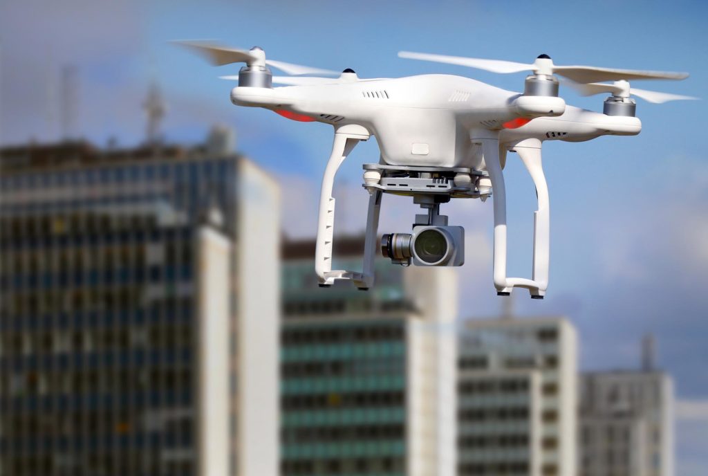
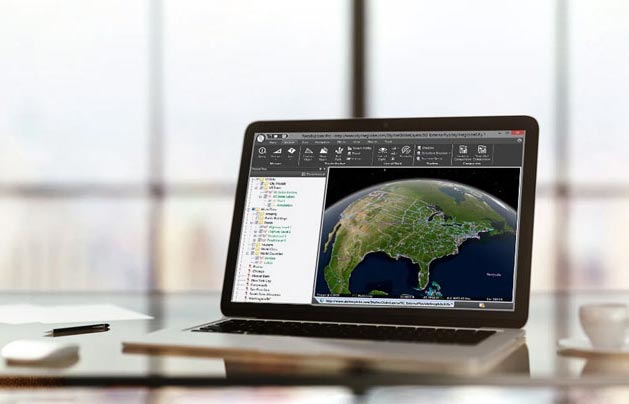
Powered by PhotoMesh, Skyline’s photogrammetric services generate aerotriangulated, high-resolution, DSM/DTM, orthomosaics, and point clouds from standard 2D photographs, Lidar and Full Motion Video (FMV). Based on the highest-performance photogrammetry, computer vision, and computational geometry algorithms, our cloud-based processing solution supports high volume data processing in a short lead time.

Outsourcing your photogrammetric requirements to Skyline cloud services allows you to focus your attention on your organization’s core, value-added operations

Benefit from optimized production and reduced costs:

  • Skyline’s vast skills and experience in multispectral photogrammetry ensure high-accuracy outputs for drones, UAV, and manned aerial mapping platforms.
  • Skyline’s full A-to-Z photogrammetric cloud services significantly reduce your hardware infrastructure investments and electricity costs.
  • Quickly scale capacity, up and down, as your processing requirements change. Only pay per use.
  • Processing of large-frame images, unlimited photos.
  • Scalable, multi-core cloud computing for fast, efficient delivery of even large projects.
Supports wide range of collection platforms and sensors

Skyline’s photogrammetry services offer outstanding flexibility in data collection, with support for both close-range drones and ground level cameras for small scale projects, as well as aerial, high-altitude airplanes for wide area mapping. Skyline’s PhotoMesh is sensor-agnostic, extending full support for different sensor sizes (medium to large frame) and types: RGB, multispectral, thermal and Lidar.

Geospatially-enable your agriculture data

Skyline’s photogrammetry services support various GPS systems and correction methods, including PPP, RTK and PPK. Real-time, precise, geospatial information on soil and plant conditions allows farmers to micro-manage their fields, applying site-specific treatments that increase agricultural production and protect the environment.

Key Features and Capabilities

Rapid turnaround
Multispectral output​
AI - enabled
High geographic accuracy
Orthophoto and DSM output​
Fully automated cloud service
Supports multiple GPS systems
Custom solution
On-premises

Supported Sensors Include

Related Products

PhotoMesh

SkylineGlobe Server

TerraExplorer