Search
Close this search box.

City Planning

Complete city planning from your desktop with a high-impact digital twin

Industry Applications

Integrate multiple data sources to create and visualize a complete digital twin. Plan for the future with our customized tools, powerful analytics, and interactive 3D models.

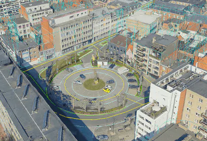
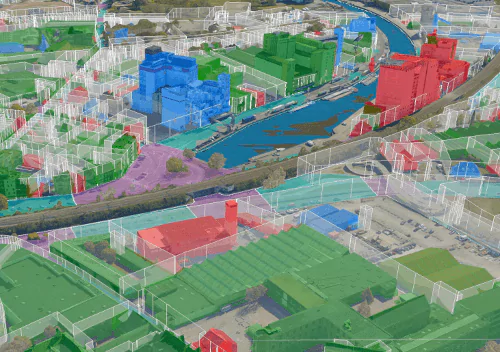
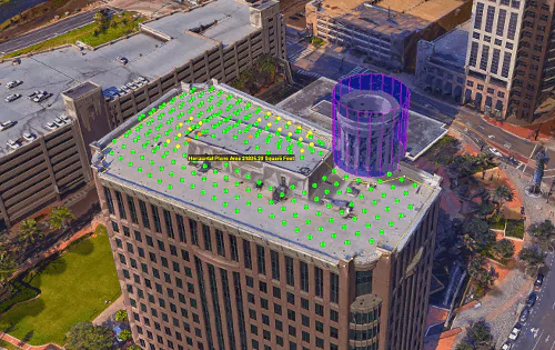
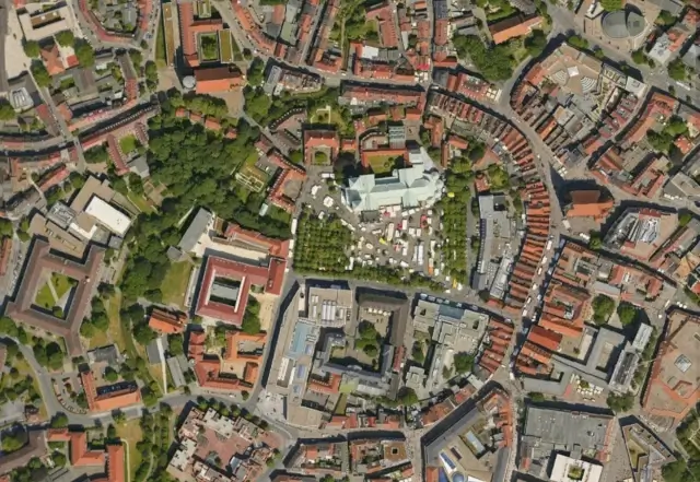
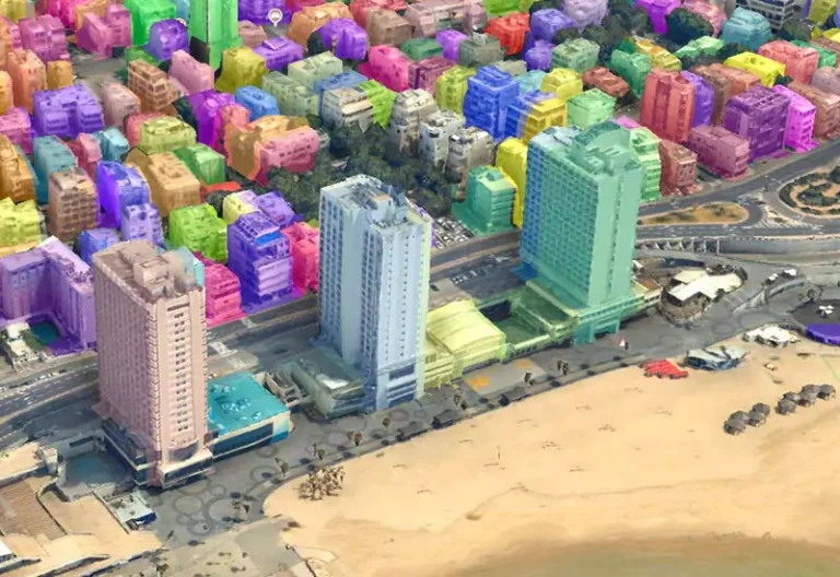
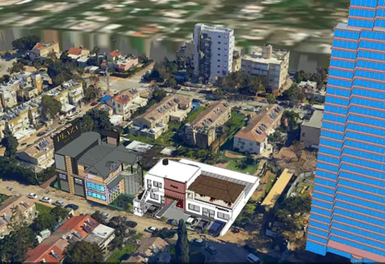
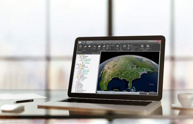
Skyline’s suite of GIS software provides cities with the tools to present, publish, and share data visually, enabling collaboration and communication with community stakeholders. 

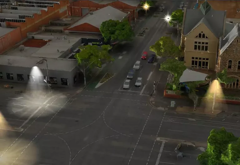
Cities, towns, and governments across the globe utilize Skyline’s platform to support projects such as planning a transition to energy-efficient LED streetlights, modeling the impact of new rail terminals, implementing 21st century security infrastructure, and preparing cities for extreme weather events.

Simulate and monitor city infrastructure such as underground utilities, street lights, roads & highways, traffic patterns, stormwater runoff, and flood risk.

PhotoMesh’s high-resolution 3D models provide the accuracy and detail that is essential for everyday infrastructure management workflows.

Skyline’s scalable processing solutions enable rapid turnaround, allowing cities to inspect and monitor infrastructure remotely in near real-time. Simulate proposed infrastructure alongside 3D models of existing infrastructure to provide decision makers with better information for smarter solutions.

Overlay and visualize information such as zoning, demographic, environmental and historical data in a single platform to assess, analyze, and plan for the impact of development.

Integrating all your data into Skyline’s comprehensive and interactive platform allows decision makers and community stakeholders to better see and understand new and existing development.

Reveal patterns and trends with visual presentation of overlayed data, providing insight into the past, present, and future of your community

Use highly accurate and detailed 3D models to efficiently and remotely inspect and assess land and property from your desktop.

3D models provide necessary information for remote tax assessment, to facilitate property code compliance and reduce the need for costly and time consuming site visits.

Obtain accurate metrics for property records using TerraExplorer’s distance, area, and volume measurement tools.

Key Features and Capabilities

Accurate Digital Twin
Viewshed & Skyline Analysis
Solar & Shadow Analysis
Distance, Area, & Volume Measurement
Mesh Classification by Attribute
CAD 3D model integration

Related Products

PhotoMesh

SkylineGlobe Server

TerraExplorer