


High-performance terrain database creator
TerraBuilder provides professional-grade tools for manipulating and merging aerial photos, satellite images, and digital elevation models of different sizes and resolutions. The resulting photo-realistic, geographically accurate terrain database can be made available to local TerraExplorer clients or published directly from TerraBuilder to SkylineGlobe Server for serving to remote TerraExplorer and WMS/WMTS clients.
TerraBuilder’s extensive plugin support allows you to load your data in the file format or database/server you need. Numerous formats and databases are supported including the following:
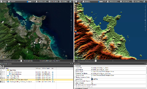
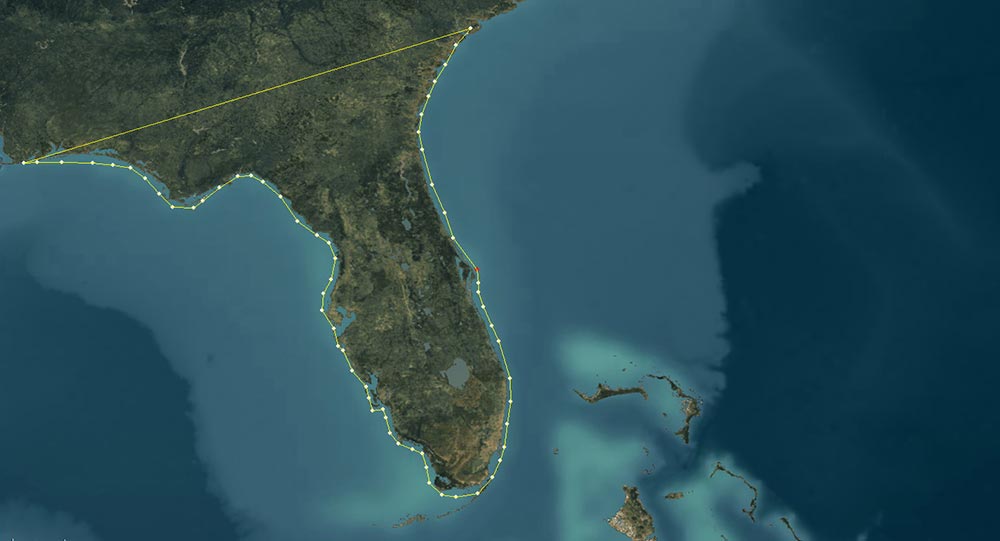
TerraBuilder provides a range of editing tools with which to manipulate the imported raster files, enabling maximum precision in the 3D terrain database result. Possible manipulations include cropping, resizing, moving, feathering, adjustment of geographic coordinates using tie points and modification of color and elevation parameters.
Share the workload of massive 3D database creation between several computers and processors on your local network. The master computer utilizes the computing power of the network’s client computers for creating your terrain and for generating optimized imagery and elevation formats to be used by the on-the-fly, server-side terrain generator.
For projects whose source data is constantly being updated or modified, terrain databases defined by the TerraBuilder project file (TBP) can be served to TerraExplorer clients and any application that reads the standard OGC WMS/WMTS protocol, using SkylineGlobe Server’s DirectConnect Service. DirectConnect eliminates the need for time-consuming re-creation of complete MPT files and allows dynamic updating of the layers and project.
Upload and publish geospatial layers to the cloud server directly from TerraBuilder. The published MPT is available for use by TerraExplorer desktop, mobile and Web clients and standard geospatial clients such as WMS/WMTS, or as layers for a TerraBuilder project.
TerraBuilder supports multi-core and multi-computer processing to accelerate massive data set publishing. Use of network fusers dramatically reduces processing time.
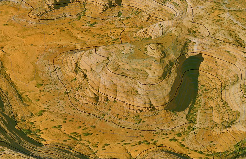
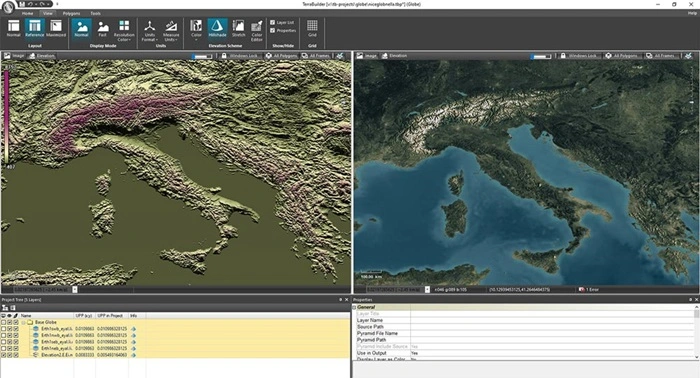
TerraBuilder creates a series of increasingly reduced resolution representations (pyramid), for each raster layer, to enable rapid display of the raster at various resolutions. When you are zoomed out of the layer and don’t require a high resolution representation, a reduced resolution is displayed that draws faster. When you zoom in, levels with finer resolutions are drawn but performance is maintained because successively smaller areas are being drawn.
| Cookie | Duration | Description |
|---|---|---|
| cookielawinfo-checkbox-analytics | 11 months | This cookie is set by GDPR Cookie Consent plugin. The cookie is used to store the user consent for the cookies in the category "Analytics". |
| cookielawinfo-checkbox-functional | 11 months | The cookie is set by GDPR cookie consent to record the user consent for the cookies in the category "Functional". |
| cookielawinfo-checkbox-necessary | 11 months | This cookie is set by GDPR Cookie Consent plugin. The cookies is used to store the user consent for the cookies in the category "Necessary". |
| cookielawinfo-checkbox-others | 11 months | This cookie is set by GDPR Cookie Consent plugin. The cookie is used to store the user consent for the cookies in the category "Other. |
| cookielawinfo-checkbox-performance | 11 months | This cookie is set by GDPR Cookie Consent plugin. The cookie is used to store the user consent for the cookies in the category "Performance". |
| viewed_cookie_policy | 11 months | The cookie is set by the GDPR Cookie Consent plugin and is used to store whether or not user has consented to the use of cookies. It does not store any personal data. |