3D geospatial visualization tools for mission success

Try it out for yourself in TerraExplorer Fusion
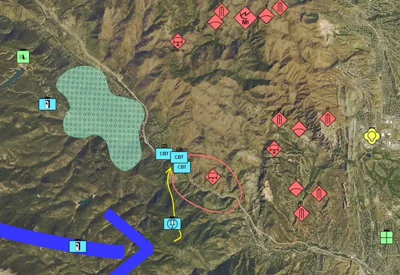
Evaluate potential approaches to a target based on surrounding terrain, possible choke points and other critical information. TerraExplorer comes equipped with both traditional terrain analysis tools and advanced geospatial analysis capabilities including: line of sight, viewshed analysis, and threat dome.
Walk troops step-by-step through 3D, photo-realistic, geographically accurate visualizations of anticipated operational situations. After a mission, accurately reenact the military operation, evaluate each progressive step, and update or modify the 3D model based on new intelligence.
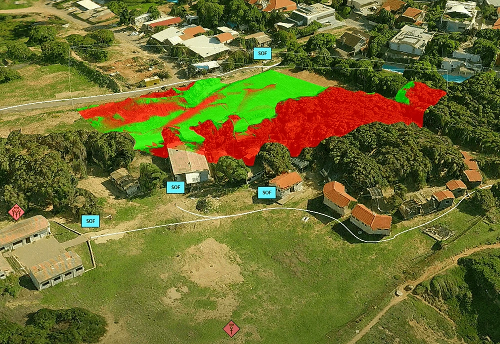
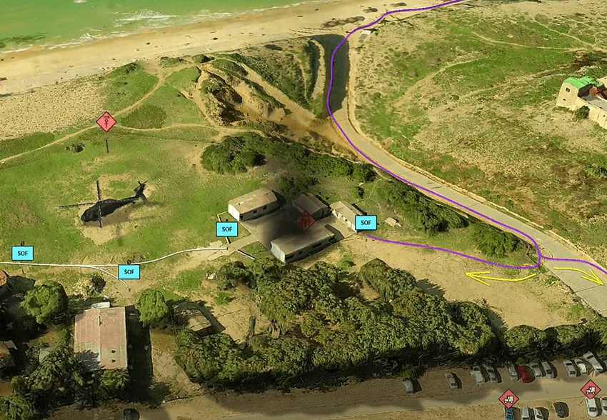
Vast amounts of updated imagery and elevation data can be made accessible within minutes so that deployment plans and lines of attack can be modified to reflect the latest intelligence and tactical information.
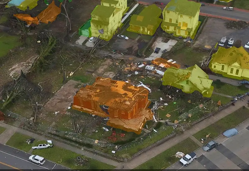
Multi-sensor data fusion combined with robust tools for collection and management of imagery, elevation, and feature layers enable the creation of photo-realistic, geographically accurate databases.

PhotoMesh

SkylineGlobe Server
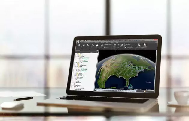
TerraExplorer
| Cookie | Duration | Description |
|---|---|---|
| cookielawinfo-checkbox-analytics | 11 months | This cookie is set by GDPR Cookie Consent plugin. The cookie is used to store the user consent for the cookies in the category "Analytics". |
| cookielawinfo-checkbox-functional | 11 months | The cookie is set by GDPR cookie consent to record the user consent for the cookies in the category "Functional". |
| cookielawinfo-checkbox-necessary | 11 months | This cookie is set by GDPR Cookie Consent plugin. The cookies is used to store the user consent for the cookies in the category "Necessary". |
| cookielawinfo-checkbox-others | 11 months | This cookie is set by GDPR Cookie Consent plugin. The cookie is used to store the user consent for the cookies in the category "Other. |
| cookielawinfo-checkbox-performance | 11 months | This cookie is set by GDPR Cookie Consent plugin. The cookie is used to store the user consent for the cookies in the category "Performance". |
| viewed_cookie_policy | 11 months | The cookie is set by the GDPR Cookie Consent plugin and is used to store whether or not user has consented to the use of cookies. It does not store any personal data. |