Advanced 3D Visualization Solutions
Connecting between real-world experiences and digital content for enhanced decision making

Fusing the power of augmented and virtual reality with our powerful 3D GIS visualization, modeling and analysis tools, Skyline has created a fully immersive and intuitive 3D geospatial exploration experience that fosters enhanced understanding and decision-making.
With Skyline’s breakthrough software, you can collect data from all photogrammetry sources, from satellite and high/low orbit UAV/drones to underwater sensors and analyze them in unison. Skyline’s solutions transform your raw data into precise, actionable information, empowering you to quickly make decisions and act based on deep analysis of high-quality and real-time intelligence.
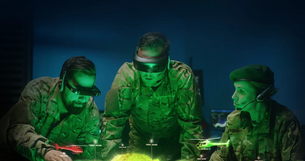
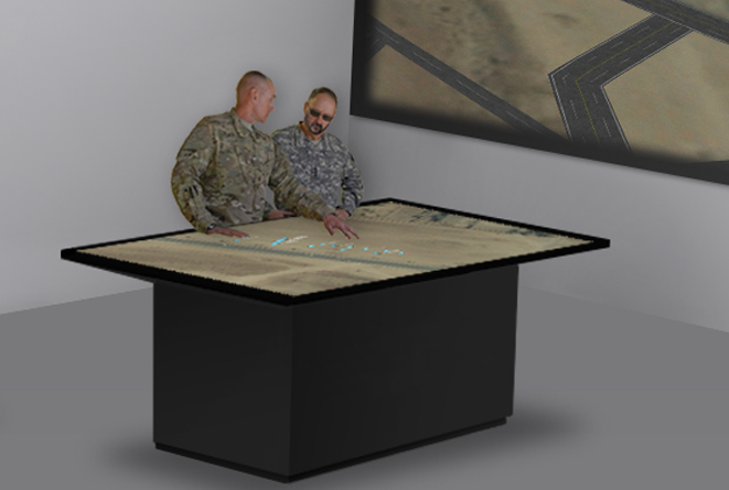
Battle Table/Wall
Innovative augmented reality (AR) battle table / wall integrated with Skyline’s powerful 3D GIS viewer. This solution allows multiple team members to enter and walk through full-sized holographic models. Simultaneous viewing of multiple overlays and split views for each user are supported for wargaming and training purposes. Commanders can conduct live 3D command briefings to multiple locations without losing situational awareness. Kit includes:
- Ruggedized desktop
- Battle holographic table / wall
- Tactical AR glasses and navigation controls
- Skyline’s TerraExplorer 3D software.
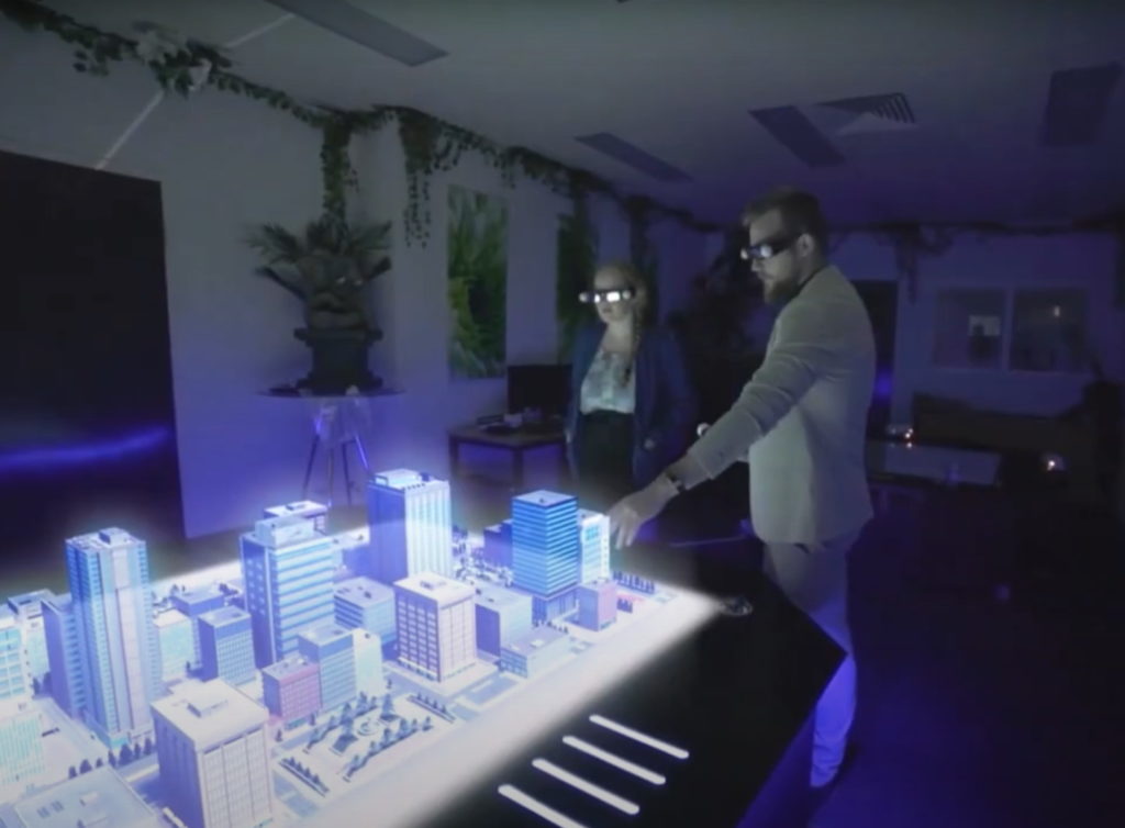
Interactive Tactical Table/Wall
Skyline’s powerful 3D GIS viewer with advanced analytic capabilities, integrated with a dedicated multi-touch screen table / wall. Kit includes:
- Ruggedized laptop
- Tactical touchscreen
- Wireless 3D controller
- Skyline’s TerraExplorer 3D software
- Visualize
- Analyze
- Create
- Inspect
Overlay terrain with imagery and elevation, 3D mesh, BIM, CAD, Lidar point cloud, and feature (vector) layers, and your own custom data. TerraExplorer enables you to create a breathtaking, digital twin that can be used to optimize asset management and tracking.
Powerful measurement, terrain analysis, line of sight, change detection/comparison and spatial analysis tools make it easy to extract vital intelligence from your geospatial data. This drives smarter decisions in mission planning, urban planning, inspection, and more…
TerraExplorer seamlessly fuses terrain, feature layers, raster layers, 3D urban models, point cloud models and 2D and 3D objects into a high-resolution 3D world environment. TerraExplorer employs various mechanisms to ensure high performance even in model-rich projects. Advanced tools allow conversion of 2D and 3D model files from various formats to a stream-optimized Skyline-proprietary format for improved display performance as well as download rate.
View and inspect your PhotoMesh 3D models (tower, bridge, construction site, etc.) from within TerraExplorer, together with the source photos used to produce them. You can also create inspection feature layers in which you mark and measure areas (e.g., that require retouching) in your 3D model or on photos in the Photo Inspector.