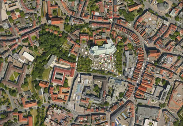
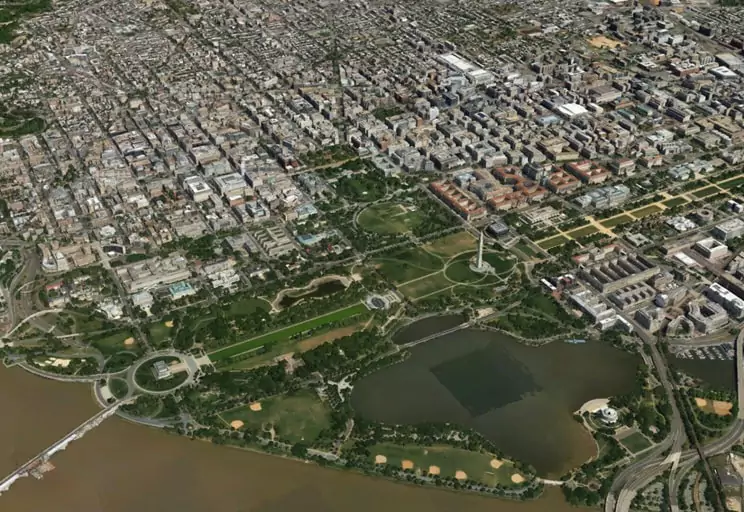
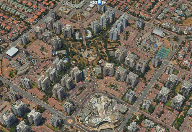
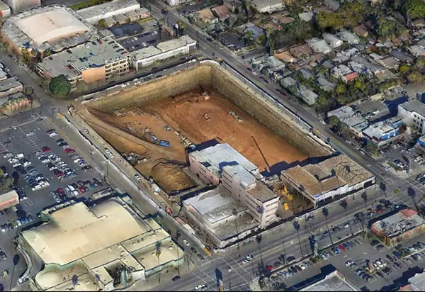
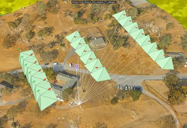
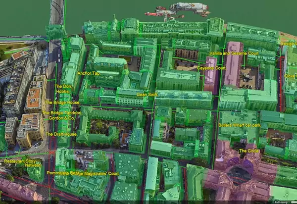
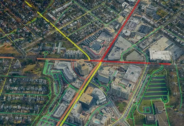
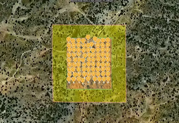
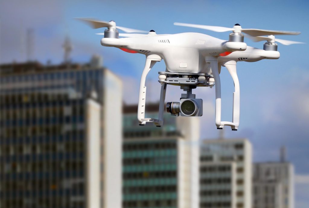
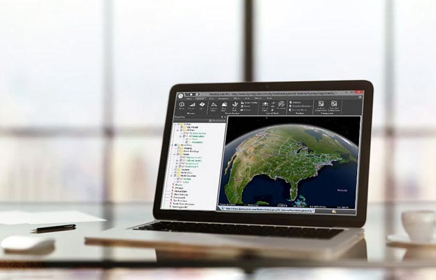
Supports many applications in the Architecture, Engineering, and Construction (AEC), as well as Agriculture, Mining, Utility Monitoring, and Inspection industries. In recent years the availability of data on demand from increasingly professional drone captures has created a need to be able to process data in short turnaround and ensure accuracy between collections. Skyline’s PhotoMesh and additional set of tools allow the data to be utilized with common ground control points, or reference points between existing datasets and new datasets. With fully actionable 3D data, TerraExplorer includes tools to automatically detect change between layers, perform volume calculations, 2D and 3D measurements, and view layers over time. These capabilities make any time-sensitive and live project accessible to end users and industry professionals in an intuitive and enriched environment, and increase the value of the data for real time analytics, decision making, and reporting.