Transform drone imagery into survey-grade 2D and 3D models
Request a free trial or connect with our team
Request a free trial or connect with our team
Skyline Software Systems delivers cutting-edge 3D geospatial solutions that transform your imagery and LiDAR data into actionable insights for industries such as inspection, architecture, engineering, construction, and mapping. Leveraging advanced photogrammetry, AI, and 3D visualization technologies Skyline empowers professionals to work smarter, faster, and safer.
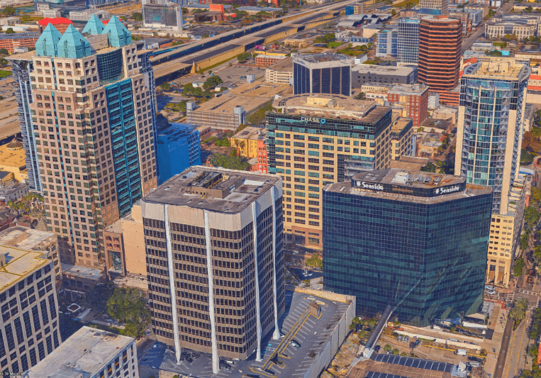
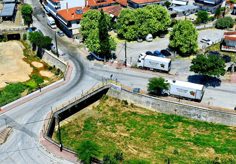
At the heart of Skyline’s advanced, geospatial visualization solution is PhotoMesh, a powerful platform that converts imagery and LiDAR from street-level mobile mapping, UAV/drones, and aircraft into high-resolution 2D and 3D outputs. PhotoMesh delivers:
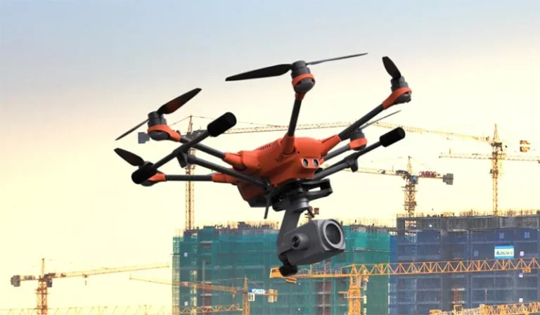
PhotoMesh offers flexible production modes to suit any scale or workflow. For field operations and smaller projects, PhotoMesh Drone runs on a single machine, enabling fast, on-site processing of drone imagery into accurate 3D models and maps. For larger datasets and distributed teams, PhotoMesh Cloud Production Service provides scalable, automated processing with collaborative access and rapid delivery. Enterprises with high-volume or sensitive data needs can deploy PhotoMesh Large-Scale On-Prem Production, leveraging multiple machines for parallel processing and full control over infrastructure and security.
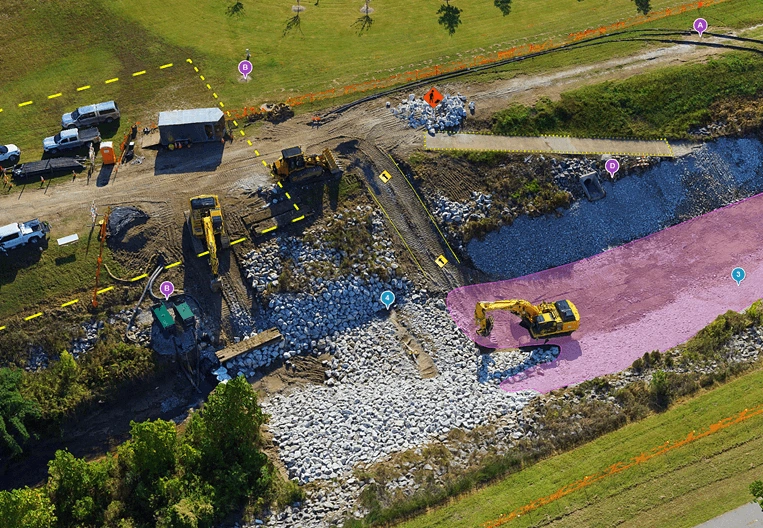
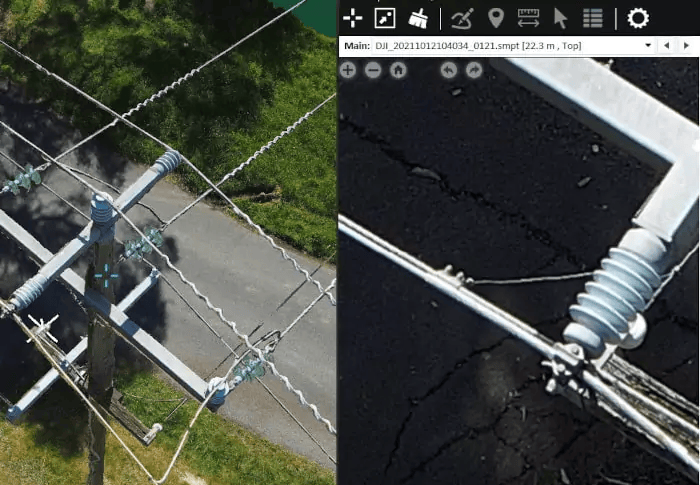
Skyline’s visualization and inspection tools provide seamless access to 3D geospatial content across platforms. With SkylineGlobe Server, users can securely publish and manage 3D datasets for real-time access. TerraExplorer – available on desktop, web, and mobile – offers powerful visualization, measurement, and analysis tools for infrastructure inspection, site planning, and mapping. Whether in the office or the field, users can explore high-resolution 3D models, perform virtual inspections, and collaborate efficiently across devices.
PhotoMesh now supports Gaussian Splatting reconstruction, an early-access, service-based capability that converts imagery into highly detailed, photorealistic 3D models by optimizing millions of 3D Gaussians as rendering primitives. Fully integrated into the PhotoMesh pipeline, it produces streamable o3DML with exceptional visual fidelity, smooth transitions between viewpoints, and real-time performance even at city scale. Results can be published via SkylineGlobe Server and viewed in the latest TerraExplorer clients.
| Cookie | Duration | Description |
|---|---|---|
| cookielawinfo-checkbox-analytics | 11 months | This cookie is set by GDPR Cookie Consent plugin. The cookie is used to store the user consent for the cookies in the category "Analytics". |
| cookielawinfo-checkbox-functional | 11 months | The cookie is set by GDPR cookie consent to record the user consent for the cookies in the category "Functional". |
| cookielawinfo-checkbox-necessary | 11 months | This cookie is set by GDPR Cookie Consent plugin. The cookies is used to store the user consent for the cookies in the category "Necessary". |
| cookielawinfo-checkbox-others | 11 months | This cookie is set by GDPR Cookie Consent plugin. The cookie is used to store the user consent for the cookies in the category "Other. |
| cookielawinfo-checkbox-performance | 11 months | This cookie is set by GDPR Cookie Consent plugin. The cookie is used to store the user consent for the cookies in the category "Performance". |
| viewed_cookie_policy | 11 months | The cookie is set by the GDPR Cookie Consent plugin and is used to store whether or not user has consented to the use of cookies. It does not store any personal data. |
For security purposes, please solve this simple puzzle to verify you are human before sending an OTP.