Optimize your data collection with Skyline’s proven geospatial solutions
Make the most of your data collection:
Our flexible, budget friendly, performance-based solutions allow you to customize based on your project requirements and needs providing you with the perfect platform to leverage your image data for additional revenue generation.

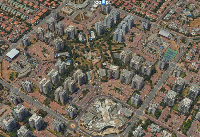
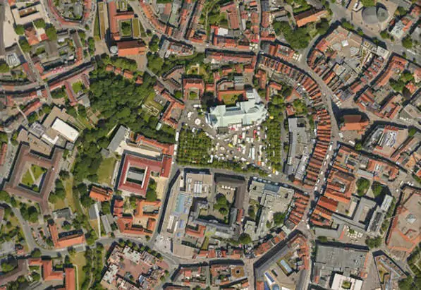
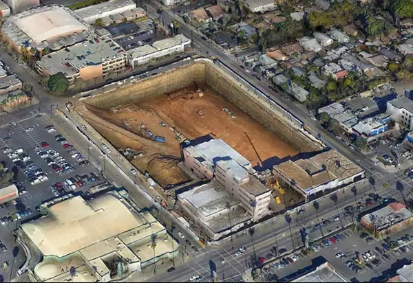
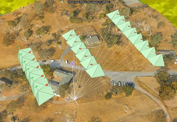
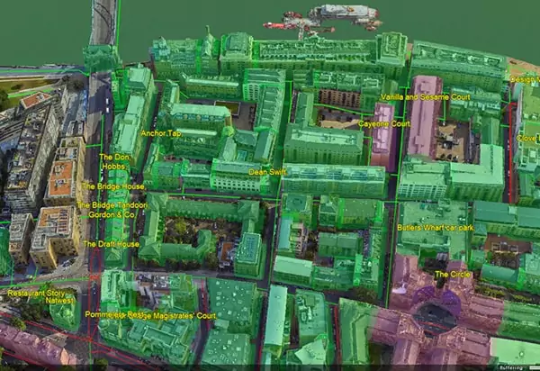
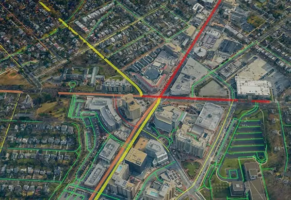
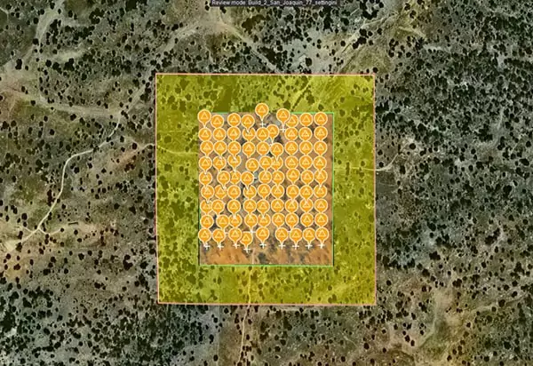
With the rise of on-demand, professional drone captures, there is a growing need for fast processing and accurate comparison between collections. Skyline’s PhotoMesh supports this by aligning datasets using either ground control points or reference sources such as prior projects, 3D layers, or LiDAR. The 3D data generated in PhotoMesh can then be viewed and analyzed in TerraExplorer with tools to detect change, calculate volumes, perform 2D and 3D measurements, and compare layers over time. Together, these capabilities make time-sensitive projects accessible in an intuitive environment, enhancing data value for real-time analytics, decision-making, and reporting.

PhotoMesh

SkylineGlobe Server
TerraExplorer
| Cookie | Duration | Description |
|---|---|---|
| cookielawinfo-checkbox-analytics | 11 months | This cookie is set by GDPR Cookie Consent plugin. The cookie is used to store the user consent for the cookies in the category "Analytics". |
| cookielawinfo-checkbox-functional | 11 months | The cookie is set by GDPR cookie consent to record the user consent for the cookies in the category "Functional". |
| cookielawinfo-checkbox-necessary | 11 months | This cookie is set by GDPR Cookie Consent plugin. The cookies is used to store the user consent for the cookies in the category "Necessary". |
| cookielawinfo-checkbox-others | 11 months | This cookie is set by GDPR Cookie Consent plugin. The cookie is used to store the user consent for the cookies in the category "Other. |
| cookielawinfo-checkbox-performance | 11 months | This cookie is set by GDPR Cookie Consent plugin. The cookie is used to store the user consent for the cookies in the category "Performance". |
| viewed_cookie_policy | 11 months | The cookie is set by the GDPR Cookie Consent plugin and is used to store whether or not user has consented to the use of cookies. It does not store any personal data. |
For security purposes, please solve this simple puzzle to verify you are human before sending an OTP.