Learn how to scale 3D modeling, streamline QA, and deliver geospatial data with impact. Join us for a webinar exploring how Phase One’s high-res imaging and IIQ RAW format are optimized for Skyline’s PhotoMesh automation engine.
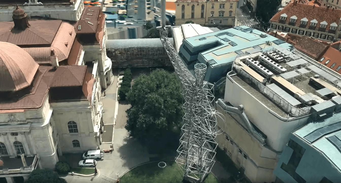
See real-world examples of how these tools create city-scale 3D models, nationwide orthophotos, and detailed inspection outputs—fast. Plus, learn how to fuse LiDAR, confirm QA, and deliver via Skyline Globe Server & TerraExplorer Fusion.
Date & Time: Tuesday, 12 August | 15:00–16:00 CEST
Speakers: Mohsen Miri (Phase One) & Eatay Ben Shechter (Skyline)
Duration: 45 min presentation + 15 min Q&A
If you can’t attend live, register anyway and we’ll send you the recording.