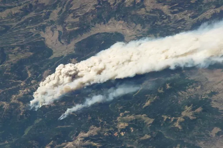
In the aftermath of natural disasters, the SkylineGlobe suite has been critical in providing the information, visualization and analysis tools that help emergency responders work faster and more efficiently to restore order, as well as keep the affected community well-informed of relief efforts and recovery progress.
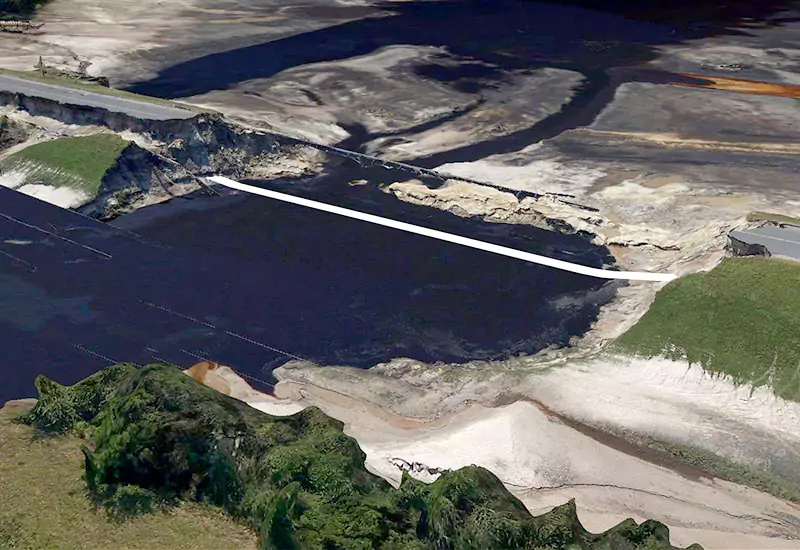
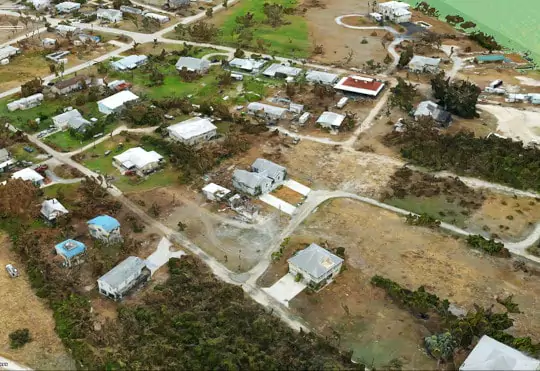
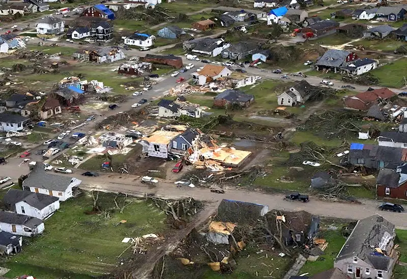
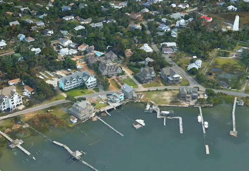
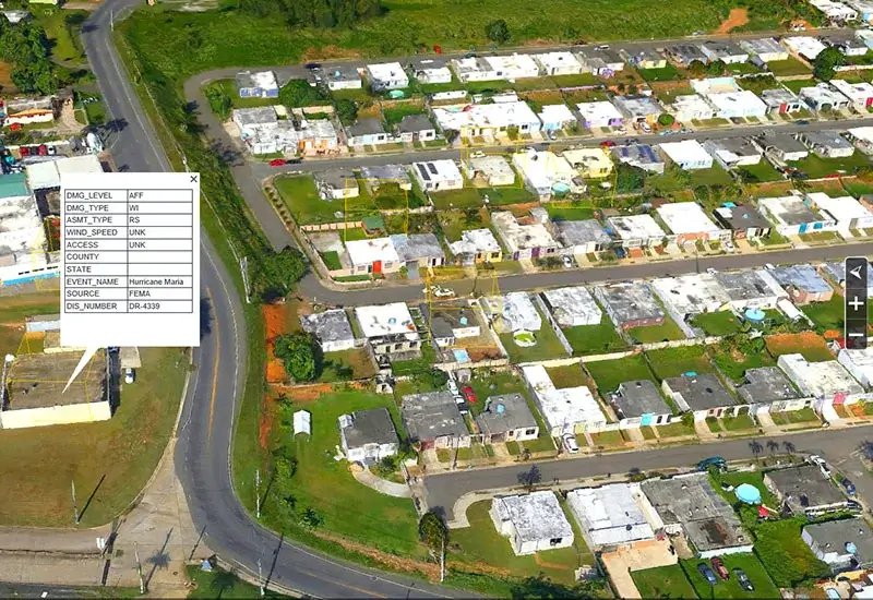
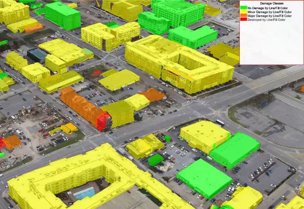
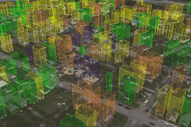
2D True Orthos and 3D models of the affected areas vastly improve situational awareness by helping to identify critical flooding issues, manage debris, and assess damage to roads, dams, bridges, infrastructure, and individual property.