Complete city planning from your desktop with a high-impact digital twin


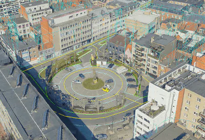
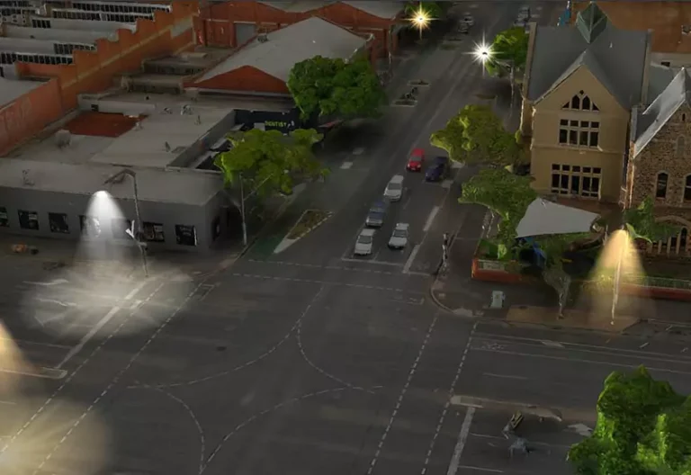
PhotoMesh’s high-resolution 3D models provide the accuracy and detail that is essential for everyday infrastructure management workflows.
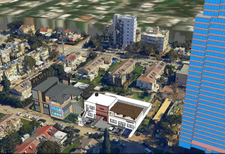
Skyline’s scalable processing solutions enable rapid turnaround, allowing cities to inspect and monitor infrastructure remotely in near real-time. Simulate proposed infrastructure alongside 3D models of existing infrastructure to provide decision makers with better information for smarter solutions.
Integrating all your data into Skyline’s comprehensive and interactive platform allows decision makers and community stakeholders to better see and understand new and existing development.
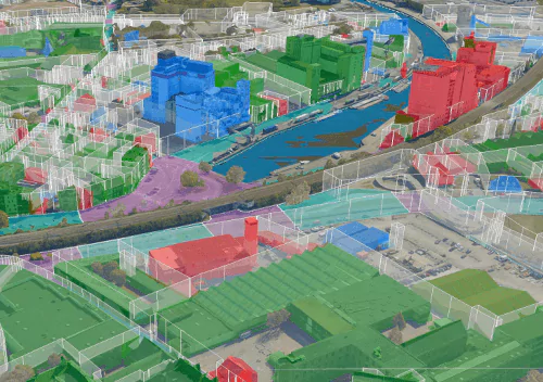
Reveal patterns and trends with visual presentation of overlayed data, providing insight into the past, present, and future of your community
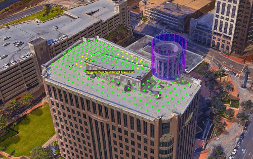
3D models provide necessary information for remote tax assessment, to facilitate property code compliance and reduce the need for costly and time consuming site visits.
Obtain accurate metrics for property records using TerraExplorer’s distance, area, and volume measurement tools.

| Cookie | Duration | Description |
|---|---|---|
| cookielawinfo-checkbox-analytics | 11 months | This cookie is set by GDPR Cookie Consent plugin. The cookie is used to store the user consent for the cookies in the category "Analytics". |
| cookielawinfo-checkbox-functional | 11 months | The cookie is set by GDPR cookie consent to record the user consent for the cookies in the category "Functional". |
| cookielawinfo-checkbox-necessary | 11 months | This cookie is set by GDPR Cookie Consent plugin. The cookies is used to store the user consent for the cookies in the category "Necessary". |
| cookielawinfo-checkbox-others | 11 months | This cookie is set by GDPR Cookie Consent plugin. The cookie is used to store the user consent for the cookies in the category "Other. |
| cookielawinfo-checkbox-performance | 11 months | This cookie is set by GDPR Cookie Consent plugin. The cookie is used to store the user consent for the cookies in the category "Performance". |
| viewed_cookie_policy | 11 months | The cookie is set by the GDPR Cookie Consent plugin and is used to store whether or not user has consented to the use of cookies. It does not store any personal data. |
For security purposes, please solve this simple puzzle to verify you are human before sending an OTP.