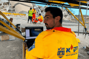
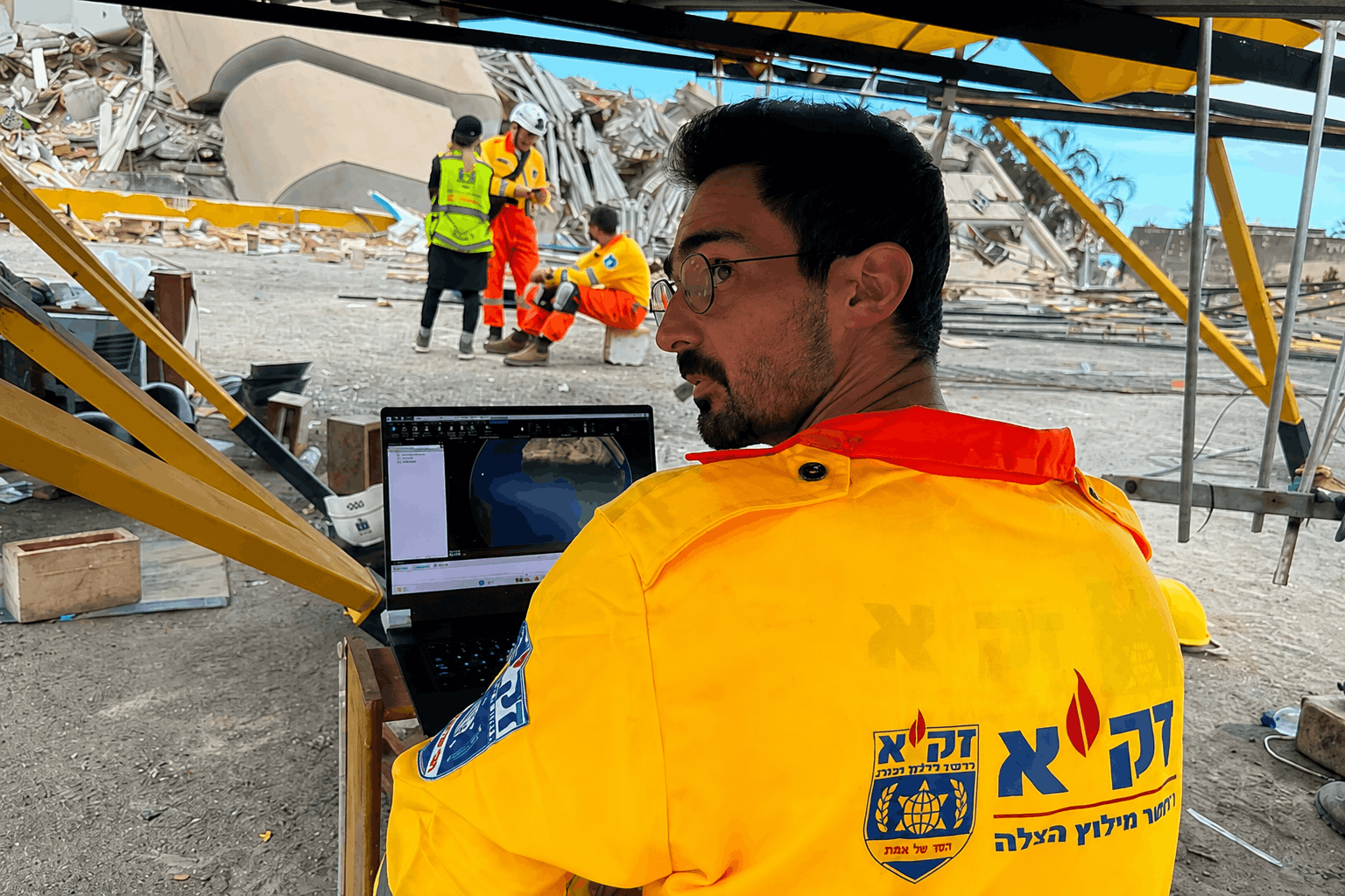
Following the recent earthquake in Venezuela, Skyline technology was used to help emergency response teams gain a clearer understanding of rapidly changing conditions on the ground.
In the aftermath of a major earthquake, conditions can change dramatically within minutes. Roads may become impassable, buildings may be structurally compromised, and rescue teams must make critical decisions with limited and constantly evolving information.
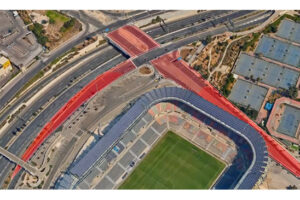
Using newly captured aerial imagery, Skyline technology rapidly generated high-resolution 3D models of the affected areas, providing responders with an accurate and up-to-date representation of the disaster zone.
The resulting 3D maps enabled response teams to:
- Assess and classify damaged structures according to the severity of the damage
- Identify blocked or inaccessible roads
- Prioritize areas requiring immediate attention
- Share a common operational view across multiple response teams
By providing a continuously updated picture of conditions on the ground, the models helped improve coordination and support faster, better-informed operational decisions during rescue efforts.
We are proud that Skyline technology could contribute to this important humanitarian response and extend our deepest appreciation to the rescue teams and volunteers working tirelessly under extremely challenging conditions.
Our thoughts are with everyone affected by the earthquake.