
Key Takeaways
- Drone 3D mapping converts overlapping aerial imagery into measurable, navigable 3D environments.
- Photorealistic quality depends on capture strategy, image resolution, and processing engine – not just raw data volume.
- Modern aerial data processing spans photogrammetry, mesh generation, and emerging Gaussian splatting techniques.
- The intended use case – construction, surveying, urban planning, or defense – determines the resolution, accuracy, and format that actually matter.
- High-fidelity 3D outputs are shifting from documentation tools to inputs for direct operational decision-making.
A 3D model that looks impressive and a 3D model you can actually build a decision on are two different things. As drone-based mapping becomes standard practice across infrastructure, surveying, and defense programs, the gap between visually convincing output and operationally reliable data has become the thing that separates useful platforms from the rest.
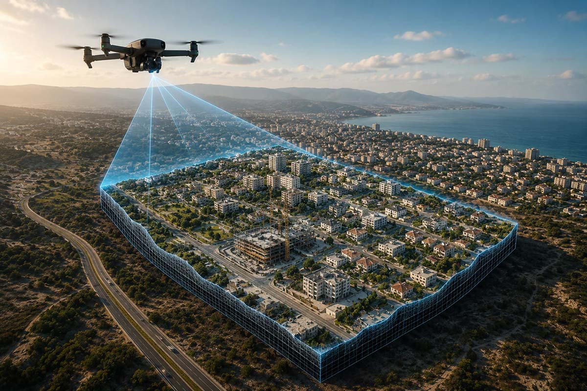
What once required manned aircraft, weeks of fieldwork, and heavy manual post-processing can now be achieved through automated drone 3D mapping workflows that convert aerial imagery into precise, measurable digital environments – often within hours rather than weeks.
At the center of this shift is modern drone mapping software, which processes thousands, or even millions, of aerial images into usable geospatial products: orthomosaics, digital surface models, textured meshes, and increasingly, Gaussian splatting representations used for planning, inspection, and operational decision-making. As demand for faster, more trustworthy spatial intelligence grows across these industries, understanding how these systems work – and what actually drives output quality – has become essential for anyone evaluating a platform.
What Is Drone 3D Mapping Software
Drone 3D mapping software is a specialized platform that transforms raw aerial imagery into spatially accurate digital models.
The process starts with drones capturing overlapping photographs, often from multiple angles, across an area of interest. Photogrammetry algorithms then identify matching features across hundreds or thousands of images, triangulating shared points to reconstruct a three-dimensional representation of the scene.
A typical aerial data processing pipeline includes:
- Image alignment and camera calibration
- Sparse point cloud generation
- Dense point cloud reconstruction
- Mesh generation
- Texture mapping
- Gaussian splatting generation
- Orthophoto creation
- Digital elevation and surface models
The output isn’t just a visual model – it’s a measurable geospatial asset that downstream systems can query and act on.
Production-grade platforms like Skyline’s PhotoMesh are built specifically for scale: processing large drone datasets without forcing teams to split projects into smaller batches and manually re-merge the results afterward – a workaround that’s become a familiar tax for teams working with platforms that cap image counts per job. For organizations running large-area captures, that difference shows up directly in project timelines and processing costs.
What Makes a Model Photorealistic
- Not all 3D models are equal. A photorealistic model is more than a textured mesh – it’s a faithful representation of reality that preserves both visual detail and geometric integrity. Several factors determine whether a model actually achieves that:
- Image Resolution – Higher resolution imagery captures finer surface detail, directly affecting texture sharpness and the ability to reconstruct small features like utility poles, facade details, or road markings.
- Overlap and Coverage – Aerial missions typically need 70–90% front and side overlap so the software can reliably identify matching points across images. Incomplete coverage leads to gaps or distorted geometry.
- Capture Angles – Nadir-only imagery works for terrain, but oblique imagery is essential for vertical structures. Buildings, bridges, and industrial sites benefit significantly from multi-angle capture.
- Ground Control and Positioning – Accurate survey control keeps the final model spatially reliable. Without strong georeferencing, a visually impressive model can still fail operationally.
- Processing Engine Quality – The reconstruction engine matters. More capable engines handle challenging environments, larger datasets, and mixed sensor inputs with fewer artifacts.
- Gaussian splatting is an emerging technique worth understanding here. Unlike traditional mesh-based rendering, splats can preserve fine surface appearance and thin structures more naturally, which is why it’s becoming an increasingly common part of the photorealistic modeling conversation industry-wide – even as platforms bring it to production maturity at different speeds.
Ultimately, photorealism is the product of both capture discipline and processing sophistication – neither one alone is enough.
How Output Quality Connects to Use Case and Platform Choice
The best output is always relative to the mission. Different applications require different balances of visual realism, geometric precision, and data size:
- Construction and Engineering – These workflows prioritize centimeter-level accuracy for progress monitoring, volumetric calculations, and clash detection. Precision matters more than cinematic visual quality.
- Surveying – Survey teams often need high-accuracy orthophotos and surface models rather than fully textured meshes. The focus is measurement reliability, not visual polish.
- Urban Planning – City-scale digital twins need both realism and scalability. Large-area models must support visualization, simulation, and stakeholder communication simultaneously.
- Defense and ISR – Military and intelligence workflows increasingly depend on high-resolution 3D terrain not just for visualization, but as a reference layer for navigation and positioning when GPS signals are degraded, jammed, or unavailable. In these environments, model detail and reliability can directly affect operational outcomes.
Platform choice matters because some software is built for small, localized jobs while others are architected for enterprise-scale production across commercial UAV programs and beyond. If the goal is autonomous navigation or visual positioning in GNSS-denied environments, the model needs to preserve enough detail for machine vision systems to recognize and match real-world features – often by combining traditional photogrammetric meshes with Gaussian splats for richer visual context.
Choosing the right drone mapping software ultimately means understanding the downstream use of the data before you optimize for the capture.
How Drone 3D Mapping Connects to Real-World Decision-Making
The value of drone 3D mapping extends well beyond visualization – it’s operational intelligence.
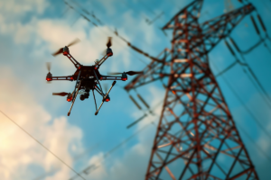
In infrastructure inspection, teams can identify structural issues remotely, reducing the need for risky manual inspections of assets that are expensive or dangerous to access on foot.
In surveying, photorealistic models reduce site revisits by preserving accurate, complete records of field conditions. In defense, 3D environments support mission rehearsal, route planning, and ISR video positioning – allowing teams to correlate live video feeds with terrain and structures that hold up under scrutiny, not just ones that look right at first glance. For emergency response, drones can rapidly capture disaster zones and generate current models that support search and rescue or damage assessment when timelines are measured in hours.
The underlying shift: organizations are moving from “capture for documentation” to “capture for decisions.”
Aerial data processing is no longer just about producing maps – it’s about building machine-readable representations of the world that support AI, autonomy, and human decision-making alike. As drones become more capable and sensors improve, photorealistic 3D reconstruction and Gaussian splatting will increasingly serve as foundational layers for digital operations, not add-ons to them.
FAQ
How does drone 3D mapping software work?
Drone 3D mapping software processes overlapping aerial images using photogrammetry. It identifies common points across images, estimates camera positions, and reconstructs 3D geometry from those relationships. Newer systems may also generate Gaussian splats to speed up rendering while preserving photorealistic detail.
What types of aerial data can be used to create 3D models?
Most systems rely on RGB drone imagery, but many platforms also support oblique images, LiDAR scans, thermal imagery, and multispectral data. Combining sources typically improves accuracy and completeness, especially in complex urban or vegetated environments where single-source data falls short.
How accurate are 3D models created from drone data?
Accuracy depends on flight planning, image quality, sensor calibration, and ground control. Professional workflows can achieve centimeter-level accuracy, and integrating RTK, PPK, or ground control points further improves reliability – particularly for high-precision surveying or engineering applications.